Cartographic Tricks & Techniques in R
Regular talk, 11:25-11:40
Over the past few years, the R-spatial community has leveraged the flexibility and popularity of R to create some truly powerful spatial analytics and cartographic packages. This presentation intends to provide a general overview of the packages, functions, and best practices for mapping in R. Example topics to be discussed will range from labeling geographic features and inserting basemaps in {ggplot2}, to repairing and simplifying geometries, to making quick yet effective interactive maps in {mapview} or {leaflet}. The intended audience is expected to already be familiar with working with simple features in R through the {sf} package and how to build a basic plot with {ggplot2}, but curious about stepping up their cartographic game.
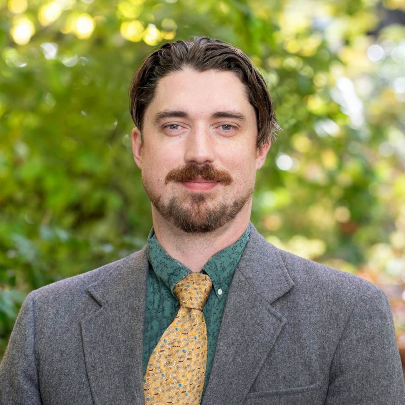
 | Pronouns: he/himPortland, ORJustin Sherrill is a lead technical analyst at regional economics and planning consultant ECOnorthwest. Building on a education and professional background in urban planning and GIS, Justin now uses R on a daily basis to model housing markets and land use impacts for client governments across the Western US. Outside of his work at ECOnorthwest, you can find published examples of Justin’s maps and data visualizations in Proceedings of the National Academy of Sciences, and in Upper Left Cities: A Cultural Atlas of San Francisco, Portland, and Seattle. |
